 vesseltracker.com
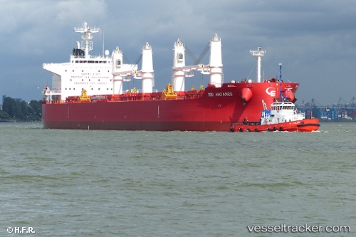
 NOOTKA ISLAND
Current Status
Where is the vessel?
NOOTKA ISLAND is currently in 88 nm E of Langa de Duero, based on AIS data received about 2h ago.
Latest AIS update:
Current position: 41.38520° N, 30.72872° W (88 nm E of Langa de Duero)
Average speed (last 7 days): Loading…
Average speed (last 30 days): Loading…
Vessel profile: NOOTKA ISLAND is a Cargo with dimensions m x m.
This page combines live AIS, route history, probable destination signals, nearby traffic, and port activity for practical vessel monitoring.
The current position of vessel NOOTKA ISLAND is 41.38520 lat / -30.72872 lng. Updated: 2026-04-20 01:28:38 UTCCurrently sailing under the flag of Singapore ![]()
Details:
Live Vessel NOOTKA ISLAND Analytics (details, animations, etc.)
Recent AIS points (UTC):
2026-04-19 22:21:38 UTC · 41.30333, -30.15333 · SOG 8 kn · COG -1°2026-04-20 00:18:37 UTC · 41.35833, -30.49667 · SOG 8 kn · COG -1°
2026-04-20 01:28:38 UTC · 41.38520, -30.72872 · SOG 9.2 kn · COG 280°
2026-04-20 01:28:38 UTC · 41.38520, -30.72872 · SOG 9.2 kn · COG 280°