 vesseltracker.com
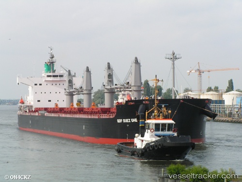
 SHARK ISLAND
Current Status
Where is the vessel?
SHARK ISLAND is currently in Near Port Said, based on AIS data received about 1h ago.
Latest AIS update:
Current position: 31.35667° N, 32.33811° E (Near Port Said)
Average speed (last 7 days): Loading…
Average speed (last 30 days): Loading…
Vessel profile: SHARK ISLAND is a Bulk Carrier with dimensions m x m.
This page combines live AIS, route history, probable destination signals, nearby traffic, and port activity for practical vessel monitoring.
The current position of vessel SHARK ISLAND is 31.35667 lat / 32.33811 lng. Updated: 2026-04-19 11:22:45 UTCNearest reference points:
- Near Port Said
- 14 nm N of Port Said
- Near Port Said East
Currently sailing under the flag of Singapore ![]()
Details:
Live Vessel SHARK ISLAND Analytics (details, animations, etc.)
Recent AIS points (UTC):
2026-04-19 07:25:24 UTC · 31.35778, 32.33881 · SOG 0.2 kn · COG 266°2026-04-19 09:49:22 UTC · 31.35721, 32.33857 · SOG 0 kn · COG 289°
2026-04-19 10:25:19 UTC · 31.35680, 32.33822 · SOG 0.2 kn · COG 303°
2026-04-19 11:22:45 UTC · 31.35667, 32.33811 · SOG 0.1 kn · COG -1°