 vesseltracker.com
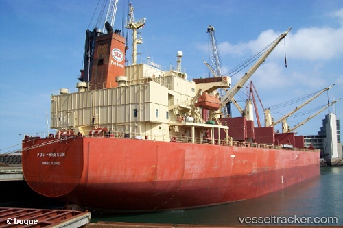
 Thor Madoc
Current Status
Where is the vessel?
Thor Madoc is currently in Near TOROS, based on AIS data received about 2h ago.
Latest AIS update:
Current position: 36.91852° N, 36.01199° E (Near TOROS)
Average speed (last 7 days): Loading…
Average speed (last 30 days): Loading…
Vessel profile: Thor Madoc is a Bulk Carrier with dimensions 190m x 32m.
This page combines live AIS, route history, probable destination signals, nearby traffic, and port activity for practical vessel monitoring.
The current position of vessel Thor Madoc is 36.91852 lat / 36.01199 lng. Updated: 2026-03-25 08:07:18 UTCNearest reference points:
- Near CEYHAN
- Near DORTYOL
- Near YUMURTALIC
Currently sailing under the flag of Singapore ![]()
Thor Madoc built in 2005 year
Deadweight:
55695 tDetails:
Live Vessel Thor Madoc Analytics (details, animations, etc.)
Recent AIS points (UTC):
2026-03-25 01:22:13 UTC · 36.91848, 36.01202 · SOG 0 kn · COG 191°2026-03-25 04:07:13 UTC · 36.91848, 36.01201 · SOG 0 kn · COG 191°
2026-03-25 05:58:28 UTC · 36.91850, 36.01201 · SOG 0 kn · COG -1°
2026-03-25 08:07:18 UTC · 36.91852, 36.01199 · SOG 0 kn · COG 191°