 vesseltracker.com
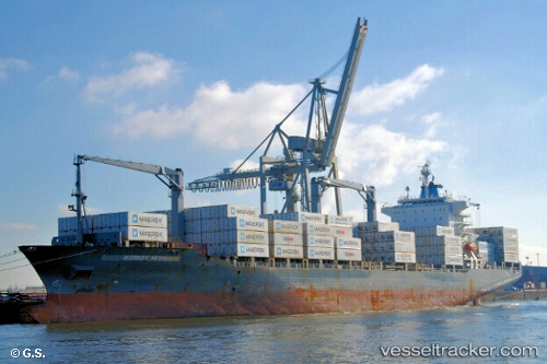
 Maersk Newhaven
Current Status
Where is the vessel?
Maersk Newhaven is currently in 103 nm S of Acajutla, based on AIS data received less than 1h ago.
Latest AIS update:
Current position: 11.89177° N, 90.15537° W (103 nm S of Acajutla)
Average speed (last 7 days): Loading…
Average speed (last 30 days): Loading…
Vessel profile: Maersk Newhaven is a Container Ship with dimensions 210m x 209m.
This page combines live AIS, route history, probable destination signals, nearby traffic, and port activity for practical vessel monitoring.
The current position of vessel Maersk Newhaven is 11.89177 lat / -90.15537 lng. Updated: 2026-04-06 16:23:05 UTCNearest reference points:
- Near San Jose
- Near El Salvador
Currently sailing under the flag of Singapore ![]()
Maersk Newhaven built in 2001 year
Deadweight:
34717 tDetails:
Live Vessel Maersk Newhaven Analytics (details, animations, etc.)
Recent AIS points (UTC):
2026-04-06 09:30:40 UTC · 11.07141, -88.18695 · SOG 19.9 kn · COG 291°2026-04-06 11:23:05 UTC · 11.30271, -88.73877 · SOG 18.4 kn · COG 292°
2026-04-06 14:03:51 UTC · 11.61924, -89.49835 · SOG 18.1 kn · COG 291°
2026-04-06 16:23:05 UTC · 11.89177, -90.15537 · SOG 18.1 kn · COG 292°