 vesseltracker.com
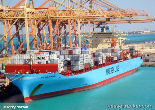
Maersk Semakau
Current StatusWhere is the vessel?
Maersk Semakau is currently in Near Docklands, based on AIS data received less than 1h ago.
Latest AIS update:
Current position: 37.81167° S, 144.91499° E (Near Docklands)
Average speed (last 7 days): Loading…
Average speed (last 30 days): Loading…
Vessel profile: Maersk Semakau is a Container Ship with dimensions 40m x 319m.
This page combines live AIS, route history, probable destination signals, nearby traffic, and port activity for practical vessel monitoring.
The current position of vessel Maersk Semakau is -37.81167 lat / 144.91499 lng. Updated: 2026-04-02 10:05:08 UTCNearest reference points:
- Near Spotswood
- Near Drysdale
- Near QUEENSCLIFF
Details:
Live Vessel Maersk Semakau Analytics (details, animations, etc.)
Recent AIS points (UTC):
2026-04-02 03:28:30 UTC · -37.81167, 144.91499 · SOG 0 kn · COG -1°2026-04-02 06:16:10 UTC · -37.81145, 144.91460 · SOG 0 kn · COG 182°
2026-04-02 07:37:55 UTC · -37.81167, 144.91499 · SOG 0 kn · COG -1°
2026-04-02 10:05:08 UTC · -37.81167, 144.91499 · SOG 0 kn · COG -1°