 vesseltracker.com
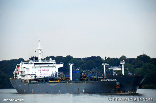
Rudolf Schulte
Current StatusWhere is the vessel?
Rudolf Schulte is currently in 246 nm SW of Monrovia, based on AIS data received about 1h ago.
Latest AIS update:
Current position: 3.16833° N, 13.42666° W (246 nm SW of Monrovia)
Average speed (last 7 days): Loading…
Average speed (last 30 days): Loading…
Vessel profile: Rudolf Schulte is a Chemical Oil Products Tanker with dimensions 28m x 178m.
This page combines live AIS, route history, probable destination signals, nearby traffic, and port activity for practical vessel monitoring.
The current position of vessel Rudolf Schulte is 3.16833 lat / -13.42666 lng. Updated: 2026-04-20 01:49:42 UTCNearest reference points:
- Open sea, approx. 400 nm off the nearest listed port
- Open sea, approx. 402 nm off the nearest listed port
- Open sea, approx. 403 nm off the nearest listed port
Details:
Live Vessel Rudolf Schulte Analytics (details, animations, etc.)
Recent AIS points (UTC):
2026-04-19 22:40:40 UTC · 3.29833, -14.05500 · SOG 12 kn · COG -1°2026-04-19 23:37:44 UTC · 3.26167, -13.86333 · SOG 11 kn · COG -1°
2026-04-20 01:37:43 UTC · 3.17667, -13.46667 · SOG 12 kn · COG -1°
2026-04-20 01:49:42 UTC · 3.16833, -13.42666 · SOG 12 kn · COG -1°