 vesseltracker.com
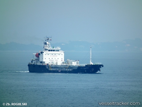
Cleanseas Harmony
Current StatusWhere is the vessel?
Cleanseas Harmony is currently in Near BUKOM ISLAND, based on AIS data received less than 1h ago.
Latest AIS update:
Current position: 1.20784° N, 103.79132° E (Near BUKOM ISLAND)
Average speed (last 7 days): Loading…
Average speed (last 30 days): Loading…
Vessel profile: Cleanseas Harmony is a Chemical Oil Products Tanker with dimensions 15m x 80m.
This page combines live AIS, route history, probable destination signals, nearby traffic, and port activity for practical vessel monitoring.
The current position of vessel Cleanseas Harmony is 1.20784 lat / 103.79132 lng. Updated: 2026-04-18 15:33:59 UTCNearest reference points:
- Near BUKOM ISLAND
- Near Pasir Panjang Wharves
- Near Singapore
Details:
Live Vessel Cleanseas Harmony Analytics (details, animations, etc.)
Recent AIS points (UTC):
2026-04-18 09:42:59 UTC · 1.20787, 103.79133 · SOG 0 kn · COG -1°2026-04-18 11:30:00 UTC · 1.20787, 103.79131 · SOG 0 kn · COG -1°
2026-04-18 14:07:00 UTC · 1.20783, 103.79133 · SOG 0 kn · COG -1°
2026-04-18 15:33:59 UTC · 1.20784, 103.79132 · SOG 0 kn · COG -1°