 vesseltracker.com
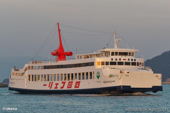
 SEATRAN FERRY 14
Current Status
Where is the vessel?
SEATRAN FERRY 14 is currently in 11 nm N of Nakhon Si Thammarat, based on AIS data received about 2h ago.
Latest AIS update:
Current position: 9.39745° N, 99.79933° E (11 nm N of Nakhon Si Thammarat)
Average speed (last 7 days): Loading…
Average speed (last 30 days): Loading…
Vessel profile: SEATRAN FERRY 14 is a Passenger with dimensions m x m.
This page combines live AIS, route history, probable destination signals, nearby traffic, and port activity for practical vessel monitoring.
The current position of vessel SEATRAN FERRY 14 is 9.39745 lat / 99.79933 lng. Updated: 2026-03-30 07:55:58 UTCNearest reference points:
- Near Nakhon Si Thammarat
- Near Ko Samui
- Near Samui Apt
Currently sailing under the flag of Thailand ![]()
Details:
Live Vessel SEATRAN FERRY 14 Analytics (details, animations, etc.)
Recent AIS points (UTC):
2026-03-30 01:54:37 UTC · 9.44912, 99.84758 · SOG 12.9 kn · COG 42°2026-03-30 03:51:38 UTC · 9.40740, 99.80655 · SOG 13 kn · COG 222°
2026-03-30 06:18:17 UTC · 9.51773, 99.90838 · SOG 12.8 kn · COG 41°
2026-03-30 07:55:58 UTC · 9.39745, 99.79933 · SOG 12.9 kn · COG 220°