 vesseltracker.com
 RM 7
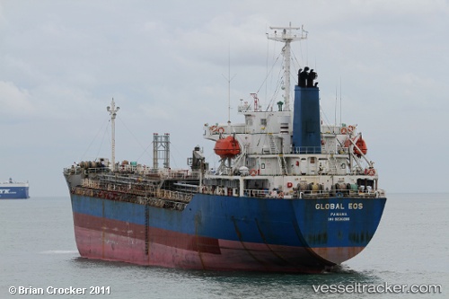
RM 7
Current Status
Where is the vessel?
RM 7 is currently in Near Padang, based on AIS data received less than 1h ago.
Latest AIS update:
Current position: 1.04199° S, 100.34668° E (Near Padang)
Average speed (last 7 days): Loading…
Average speed (last 30 days): Loading…
Vessel profile: RM 7 is a Chemical Tanker with dimensions m x m.
This page combines live AIS, route history, probable destination signals, nearby traffic, and port activity for practical vessel monitoring.
The current position of vessel RM 7 is -1.04199 lat / 100.34668 lng. Updated: 2026-04-13 04:22:53 UTCNearest reference points:
- Near Pelabuhan Futong Terminal
- 34 nm NW of FUTONG
Currently sailing under the flag of Thailand ![]()
Details:
Live Vessel RM 7 Analytics (details, animations, etc.)
Recent AIS points (UTC):
2026-04-12 21:22:53 UTC · -1.04177, 100.34506 · SOG 0.1 kn · COG 66°2026-04-13 00:07:54 UTC · -1.04160, 100.34498 · SOG 0.2 kn · COG 78°
2026-04-13 02:01:53 UTC · -1.04150, 100.34498 · SOG 0.1 kn · COG 92°
2026-04-13 04:22:53 UTC · -1.04199, 100.34668 · SOG 0.1 kn · COG 317°