 vesseltracker.com
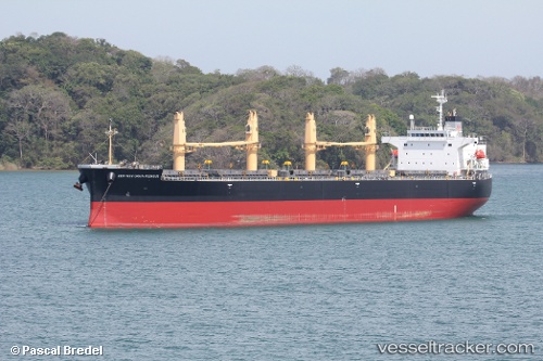
 HARMONY
Current Status
Where is the vessel?
HARMONY is currently in 89 nm E of Ubombo, based on AIS data received about 17h ago.
Latest AIS update:
Current position: 27.60637° S, 33.75997° E (89 nm E of Ubombo)
Average speed (last 7 days): Loading…
Average speed (last 30 days): Loading…
Vessel profile: HARMONY is a Bulk Carrier with dimensions m x m.
This page combines live AIS, route history, probable destination signals, nearby traffic, and port activity for practical vessel monitoring.
The current position of vessel HARMONY is -27.60637 lat / 33.75997 lng. Updated: 2026-04-10 07:14:30 UTCNearest reference points:
- 42 nm E of Richards Bay
- 162 nm SE of Xai-Xai
- 163 nm SE of Richards Bay
Currently sailing under the flag of Tuvalu ![]()
Details:
Live Vessel HARMONY Analytics (details, animations, etc.)
Recent AIS points (UTC):
2026-04-10 02:14:03 UTC · -28.26683, 33.02047 · SOG 10.3 kn · COG 45°2026-04-10 04:00:20 UTC · -28.04100, 33.27167 · SOG 11 kn · COG 44°
2026-04-10 05:29:59 UTC · -27.84205, 33.49273 · SOG 11.1 kn · COG 47°
2026-04-10 07:14:30 UTC · -27.60637, 33.75997 · SOG 11.8 kn · COG 50°