 vesseltracker.com
 DA NANG GAS
Current Status
Where is the vessel?
DA NANG GAS is currently in 30 nm SE of Tandjung Gerem, based on AIS data received about 2h ago.
Latest AIS update:
Current position: 5.59113° N, 106.31068° E (30 nm SE of Tandjung Gerem)
Average speed (last 7 days): Loading…
Average speed (last 30 days): Loading…
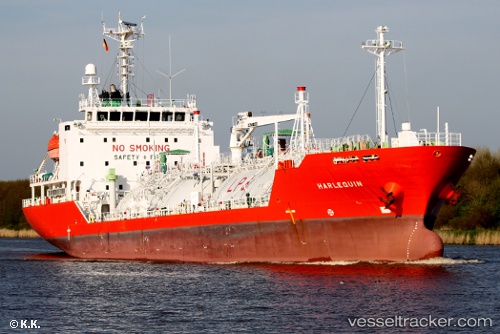
Vessel profile: DA NANG GAS is a LPG Tanker with dimensions 100m x 17m.
This page combines live AIS, route history, probable destination signals, nearby traffic, and port activity for practical vessel monitoring.
The current position of vessel DA NANG GAS is 5.59113 lat / 106.31068 lng. Updated: 2026-03-28 21:10:27 UTCNearest reference points:
- 36 nm SW of Slipi
- Near Anoa Natuna Pt.
- 46 nm E of Kakap Natuna Terminal
Currently sailing under the flag of Vietnam ![]()
DA NANG GAS built in 2006 year
Deadweight:
4771 tDetails:
Live Vessel DA NANG GAS Analytics (details, animations, etc.)
Recent AIS points (UTC):
2026-03-28 14:50:21 UTC · 4.96840, 105.38057 · SOG 10.6 kn · COG 52°2026-03-28 17:52:02 UTC · 5.27707, 105.81587 · SOG 10.5 kn · COG 62°
2026-03-28 18:34:01 UTC · 5.34110, 105.92103 · SOG 10.4 kn · COG 58°
2026-03-28 21:10:27 UTC · 5.59113, 106.31068 · SOG 10.2 kn · COG -1°