 vesseltracker.com
 JAMAICA
Current Status
Where is the vessel?
JAMAICA is currently in 50 nm SW of Belida Terminal, based on AIS data received about 90d ago.
Latest AIS update:
Current position: 3.72845° N, 104.39727° E (50 nm SW of Belida Terminal)
Average speed (last 7 days): Loading…
Average speed (last 30 days): Loading…
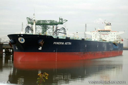
Vessel profile: JAMAICA is a Crude Oil Tanker with dimensions 240m x 43m.
This page combines live AIS, route history, probable destination signals, nearby traffic, and port activity for practical vessel monitoring.
The current position of vessel JAMAICA is 3.72845 lat / 104.39727 lng. Updated: 2026-01-19 00:38:40 UTCNearest reference points:
- Near KEMAMAN
- Near Cukai
- 26 nm E of Belida Terminal
Currently sailing under the flag of Vietnam ![]()
JAMAICA built in 2001 year
Deadweight:
105946 tDetails:
Live Vessel JAMAICA Analytics (details, animations, etc.)
Recent AIS points (UTC):
2026-01-19 00:38:40 UTC · 3.72845, 104.39727 · SOG 0.8 kn · COG 0°