 vesseltracker.com
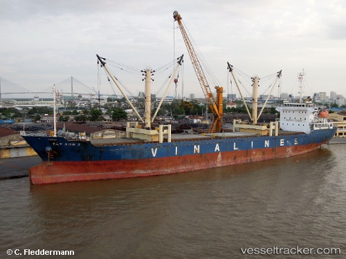
Tay Son 2
Current StatusWhere is the vessel?
Tay Son 2 is currently in 99 nm NW of Bassein, based on AIS data received about 3h ago.
Latest AIS update:
Current position: 17.66970° N, 93.26792° E (99 nm NW of Bassein)
Average speed (last 7 days): Loading…
Average speed (last 30 days): Loading…
Vessel profile: Tay Son 2 is a General Cargo Ship with dimensions 22m x 136m.
This page combines live AIS, route history, probable destination signals, nearby traffic, and port activity for practical vessel monitoring.
The current position of vessel Tay Son 2 is 17.66970 lat / 93.26792 lng. Updated: 2026-04-09 09:13:39 UTCNearest reference points:
- 73 nm SW of KYAUKPYU
Details:
Live Vessel Tay Son 2 Analytics (details, animations, etc.)
Recent AIS points (UTC):
2026-04-09 05:29:00 UTC · 17.14600, 93.48535 · SOG 9.1 kn · COG 341°2026-04-09 06:14:08 UTC · 17.25205, 93.44310 · SOG 9.2 kn · COG 342°
2026-04-09 09:13:39 UTC · 17.66970, 93.26792 · SOG 9.2 kn · COG 342°
2026-04-09 09:13:39 UTC · 17.66970, 93.26792 · SOG 9.2 kn · COG 342°