 vesseltracker.com
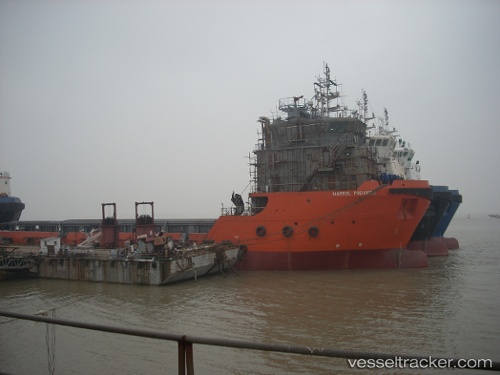
Anderson Tide
Current StatusWhere is the vessel?
Anderson Tide is currently in 38 nm S of Soroosh (Cyrus) Terminal, based on AIS data received about 1h ago.
Latest AIS update:
Current position: 28.41157° N, 49.56541° E (38 nm S of Soroosh (Cyrus) Terminal)
Average speed (last 7 days): Loading…
Average speed (last 30 days): Loading…
Vessel profile: Anderson Tide is a Offshore Tug Supply Ship with dimensions 12m x 70m.
This page combines live AIS, route history, probable destination signals, nearby traffic, and port activity for practical vessel monitoring.
The current position of vessel Anderson Tide is 28.41157 lat / 49.56541 lng. Updated: 2026-04-06 11:27:56 UTCNearest reference points:
- 38 nm S of Soroosh (Cyrus) Terminal
- 41 nm S of Soroosh (Cyrus) Terminal
- 31 nm S of Soroosh (Cyrus) Terminal
Details:
Live Vessel Anderson Tide Analytics (details, animations, etc.)
Recent AIS points (UTC):
2026-04-06 05:59:27 UTC · 28.32014, 49.65729 · SOG 0.1 kn · COG 334°2026-04-06 08:06:34 UTC · 28.32024, 49.65714 · SOG 0.2 kn · COG 335°
2026-04-06 09:48:41 UTC · 28.31833, 49.57500 · SOG 6 kn · COG -1°
2026-04-06 11:27:56 UTC · 28.41157, 49.56541 · SOG 5.3 kn · COG -1°