 vesseltracker.com
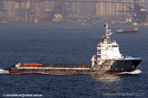
Brasher Tide
Current StatusWhere is the vessel?
Brasher Tide is currently in Near AL JUBAIL, based on AIS data received less than 1h ago.
Latest AIS update:
Current position: 27.24740° N, 49.71334° E (Near AL JUBAIL)
Average speed (last 7 days): Loading…
Average speed (last 30 days): Loading…
Vessel profile: Brasher Tide is a Offshore Tug Supply Ship with dimensions 17m x 68m.
This page combines live AIS, route history, probable destination signals, nearby traffic, and port activity for practical vessel monitoring.
The current position of vessel Brasher Tide is 27.24740 lat / 49.71334 lng. Updated: 2026-04-07 05:32:21 UTCNearest reference points:
- 13 nm NE of AL JUBAIL
- Near Al Jubayl
- Near Al Jubayl Industrial City
Details:
Live Vessel Brasher Tide Analytics (details, animations, etc.)
Recent AIS points (UTC):
2026-04-06 23:31:24 UTC · 27.12965, 49.73561 · SOG 0 kn · COG 301°2026-04-07 02:02:30 UTC · 27.21975, 49.74627 · SOG 7.7 kn · COG 312°
2026-04-07 03:52:20 UTC · 27.24739, 49.71335 · SOG 0 kn · COG 151°
2026-04-07 05:32:21 UTC · 27.24740, 49.71334 · SOG 0 kn · COG 151°