 vesseltracker.com
 SOLA
SOLA
Current Status
Where is the vessel?
SOLA is currently in 136 nm E of Porto Inglez, based on AIS data received less than 1h ago.
Latest AIS update:
Current position: 14.92610° N, 20.88112° W (136 nm E of Porto Inglez)
Average speed (last 7 days): Loading…
Average speed (last 30 days): Loading…
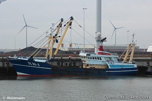
Vessel profile: SOLA is a Trawler with dimensions m x m.
This page combines live AIS, route history, probable destination signals, nearby traffic, and port activity for practical vessel monitoring.
The current position of vessel SOLA is 14.92610 lat / -20.88112 lng. Updated: 2026-04-17 20:27:22 UTCNearest reference points:
- Near Ilha do Sal
Currently sailing under the flag of Vanuatu ![]()
Details:
Live Vessel SOLA Analytics (details, animations, etc.)
Recent AIS points (UTC):
2026-04-17 13:27:01 UTC · 13.93167, -21.31833 · SOG 9 kn · COG -1°2026-04-17 16:22:34 UTC · 14.34323, -21.12444 · SOG 8.7 kn · COG 21°
2026-04-17 18:09:01 UTC · 14.59333, -21.01833 · SOG 9 kn · COG -1°
2026-04-17 20:27:22 UTC · 14.92610, -20.88112 · SOG 8.9 kn · COG 20°