 vesseltracker.com
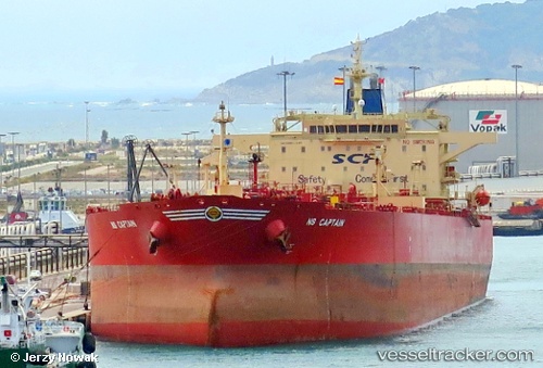
 DF PEAK
Current Status
Where is the vessel?
DF PEAK is currently in 33 nm SE of Toco, based on AIS data received less than 1h ago.
Latest AIS update:
Current position: 10.62000° N, 60.44167° W (33 nm SE of Toco)
Average speed (last 7 days): Loading…
Average speed (last 30 days): Loading…
Vessel profile: DF PEAK is a Crude Oil Tanker with dimensions m x m.
This page combines live AIS, route history, probable destination signals, nearby traffic, and port activity for practical vessel monitoring.
The current position of vessel DF PEAK is 10.62000 lat / -60.44167 lng. Updated: 2026-04-03 02:24:22 UTCNearest reference points:
- 16 nm E of Galeota Point
- Near POINT LISAS
- Near Caroni
Currently sailing under the flag of Benin ![]()
Details:
Live Vessel DF PEAK Analytics (details, animations, etc.)
Recent AIS points (UTC):
2026-04-02 19:32:00 UTC · 10.61719, -60.44071 · SOG 0.2 kn · COG 34°2026-04-02 21:25:03 UTC · 10.61852, -60.44017 · SOG 0.2 kn · COG 83°
2026-04-02 23:13:04 UTC · 10.61979, -60.44068 · SOG 0.2 kn · COG 6°
2026-04-03 02:24:22 UTC · 10.62000, -60.44167 · SOG 0 kn · COG -1°