 vesseltracker.com
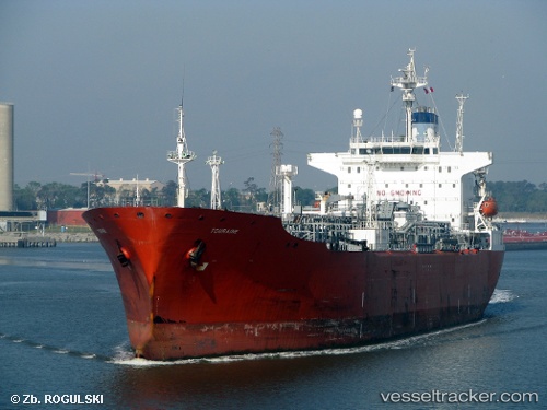
 TANIA STAR
Current Status
Where is the vessel?
TANIA STAR is currently in 181 nm SE of Chabahar, based on AIS data received about 1h ago.
Latest AIS update:
Current position: 23.39167° N, 63.20833° E (181 nm SE of Chabahar)
Average speed (last 7 days): Loading…
Average speed (last 30 days): Loading…
Vessel profile: TANIA STAR is a Lpg Tanker with dimensions m x m.
This page combines live AIS, route history, probable destination signals, nearby traffic, and port activity for practical vessel monitoring.
The current position of vessel TANIA STAR is 23.39167 lat / 63.20833 lng. Updated: 2026-03-27 04:07:23 UTCNearest reference points:
- 184 nm SE of Chabahar
- 171 nm E of SUR
- 108 nm SE of Chabahar
Currently sailing under the flag of Benin ![]()
Details:
Live Vessel TANIA STAR Analytics (details, animations, etc.)
Recent AIS points (UTC):
2026-03-26 21:23:00 UTC · 23.04500, 64.79500 · SOG 13 kn · COG -1°2026-03-26 23:50:55 UTC · 23.17167, 64.20167 · SOG 13 kn · COG -1°
2026-03-27 02:12:37 UTC · 23.28667, 63.64833 · SOG 12 kn · COG -1°
2026-03-27 04:07:23 UTC · 23.39167, 63.20833 · SOG 13 kn · COG -1°