 vesseltracker.com
 LUCKY FAIRY
Current Status
Where is the vessel?
LUCKY FAIRY is currently in 194 nm W of Bolinao, based on AIS data received less than 1h ago.
Latest AIS update:
Current position: 15.92352° N, 116.55745° E (194 nm W of Bolinao)
Average speed (last 7 days): Loading…
Average speed (last 30 days): Loading…
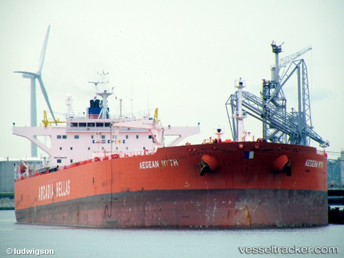
Vessel profile: LUCKY FAIRY is a Crude Oil Tanker with dimensions m x m.
This page combines live AIS, route history, probable destination signals, nearby traffic, and port activity for practical vessel monitoring.
The current position of vessel LUCKY FAIRY is 15.92352 lat / 116.55745 lng. Updated: 2026-04-07 02:29:16 UTCNearest reference points:
- 222 nm W of Iba
- 138 nm NW of Bolinao
- 282 nm E of Tan Cang Qui Nhon
Currently sailing under the flag of Cameroon ![]()
Details:
Live Vessel LUCKY FAIRY Analytics (details, animations, etc.)
Recent AIS points (UTC):
2026-04-06 20:24:18 UTC · 16.74957, 117.30317 · SOG 10.6 kn · COG 223°2026-04-06 21:59:16 UTC · 16.53193, 117.10898 · SOG 10.8 kn · COG 226°
2026-04-07 00:22:06 UTC · 16.21441, 116.81980 · SOG 10.7 kn · COG 227°
2026-04-07 02:29:16 UTC · 15.92352, 116.55745 · SOG 10.8 kn · COG 225°