 vesseltracker.com
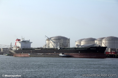
 ROYAL ICE
Current Status
Where is the vessel?
ROYAL ICE is currently in 36 nm NE of Utique, based on AIS data received about 2h ago.
Latest AIS update:
Current position: 37.47695° N, 10.60023° E (36 nm NE of Utique)
Average speed (last 7 days): Loading…
Average speed (last 30 days): Loading…
Vessel profile: ROYAL ICE is a Oil/Chemical Tanker with dimensions m x m.
This page combines live AIS, route history, probable destination signals, nearby traffic, and port activity for practical vessel monitoring.
The current position of vessel ROYAL ICE is 37.47695 lat / 10.60023 lng. Updated: 2026-03-28 12:11:07 UTCNearest reference points:
- 32 nm N of Qulaybiyah
- 13 nm N of Qulaybiyah
- Near Le Kram
Currently sailing under the flag of Cameroon ![]()
Details:
Live Vessel ROYAL ICE Analytics (details, animations, etc.)
Recent AIS points (UTC):
2026-03-28 04:10:29 UTC · 37.67094, 8.76442 · SOG 11.5 kn · COG 85°2026-03-28 07:16:55 UTC · 37.63073, 9.47508 · SOG 11.1 kn · COG -1°
2026-03-28 09:34:30 UTC · 37.57129, 10.00839 · SOG 11.1 kn · COG -1°
2026-03-28 12:11:07 UTC · 37.47695, 10.60023 · SOG 11 kn · COG -1°