 vesseltracker.com
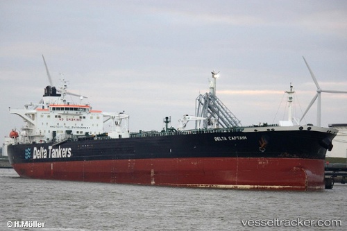
 MELITE
Current Status
Where is the vessel?
MELITE is currently in 112 nm W of Raigad, based on AIS data received about 1h ago.
Latest AIS update:
Current position: 18.15094° N, 70.96424° E (112 nm W of Raigad)
Average speed (last 7 days): Loading…
Average speed (last 30 days): Loading…
Vessel profile: MELITE is a Crude Oil Tanker with dimensions m x m.
This page combines live AIS, route history, probable destination signals, nearby traffic, and port activity for practical vessel monitoring.
The current position of vessel MELITE is 18.15094 lat / 70.96424 lng. Updated: 2026-04-17 11:32:36 UTCNearest reference points:
- Near Mumbai
- Near HNB SEZ/Mumbai
- 33 nm S of Mul Dwårka
Currently sailing under the flag of Cameroon ![]()
Details:
Live Vessel MELITE Analytics (details, animations, etc.)
Recent AIS points (UTC):
2026-04-17 06:10:07 UTC · 17.72388, 69.88022 · SOG 12.7 kn · COG 76°2026-04-17 08:09:45 UTC · 17.82801, 70.30708 · SOG 12.7 kn · COG 71°
2026-04-17 09:23:25 UTC · 17.92846, 70.56150 · SOG 12.7 kn · COG 59°
2026-04-17 11:32:36 UTC · 18.15094, 70.96424 · SOG 12.2 kn · COG 59°