 vesseltracker.com
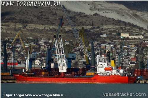
 PRINCESS EMAN
Current Status
Where is the vessel?
PRINCESS EMAN is currently in Near Damietta, based on AIS data received less than 1h ago.
Latest AIS update:
Current position: 31.60702° N, 31.68183° E (Near Damietta)
Average speed (last 7 days): Loading…
Average speed (last 30 days): Loading…
Vessel profile: PRINCESS EMAN is a General Cargo Ship with dimensions 120m x 18m.
This page combines live AIS, route history, probable destination signals, nearby traffic, and port activity for practical vessel monitoring.
The current position of vessel PRINCESS EMAN is 31.60702 lat / 31.68183 lng. Updated: 2026-04-22 19:35:58 UTCNearest reference points:
- Near Damietta
- 21 nm N of Port Said
- 15 nm N of Port Said
Currently sailing under the flag of Comoros ![]()
PRINCESS EMAN built in 1988 year
Deadweight:
8490 tDetails:
Live Vessel PRINCESS EMAN Analytics (details, animations, etc.)
Recent AIS points (UTC):
2026-04-22 16:59:04 UTC · 31.60695, 31.68193 · SOG 0 kn · COG -1°2026-04-22 18:00:03 UTC · 31.60698, 31.68192 · SOG 0 kn · COG -1°
2026-04-22 19:21:27 UTC · 31.60700, 31.68180 · SOG 0 kn · COG -1°
2026-04-22 19:35:58 UTC · 31.60702, 31.68183 · SOG 0 kn · COG -1°