 vesseltracker.com
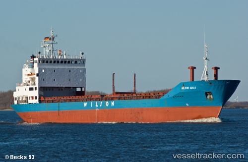
 BLACK SEA
Current Status
Where is the vessel?
BLACK SEA is currently in Near AL ARISH, based on AIS data received about 1h ago.
Latest AIS update:
Current position: 31.15526° N, 33.84091° E (Near AL ARISH)
Average speed (last 7 days): Loading…
Average speed (last 30 days): Loading…
Vessel profile: BLACK SEA is a General Cargo with dimensions m x m.
This page combines live AIS, route history, probable destination signals, nearby traffic, and port activity for practical vessel monitoring.
The current position of vessel BLACK SEA is 31.15526 lat / 33.84091 lng. Updated: 2026-04-17 21:29:12 UTCNearest reference points:
- Near AL ARISH
- 17 nm E of Atakka Dry Port
- 24 nm SW of Atakka Dry Port
Currently sailing under the flag of Comoros ![]()
Details:
Live Vessel BLACK SEA Analytics (details, animations, etc.)
Recent AIS points (UTC):
2026-04-17 16:17:04 UTC · 31.15526, 33.84087 · SOG 0 kn · COG 256°2026-04-17 17:14:08 UTC · 31.15527, 33.84085 · SOG 0 kn · COG 257°
2026-04-17 18:08:13 UTC · 31.15526, 33.84088 · SOG 0.1 kn · COG 257°
2026-04-17 21:29:12 UTC · 31.15526, 33.84091 · SOG 0 kn · COG 257°