 vesseltracker.com
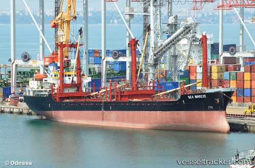
 MUSTAFA K
Current Status
Where is the vessel?
MUSTAFA K is currently in 42 nm NW of Raouché, based on AIS data received about 1h ago.
Latest AIS update:
Current position: 34.24736° N, 34.73910° E (42 nm NW of Raouché)
Average speed (last 7 days): Loading…
Average speed (last 30 days): Loading…
Vessel profile: MUSTAFA K is a General Cargo with dimensions m x m.
This page combines live AIS, route history, probable destination signals, nearby traffic, and port activity for practical vessel monitoring.
The current position of vessel MUSTAFA K is 34.24736 lat / 34.73910 lng. Updated: 2026-04-15 23:29:59 UTCNearest reference points:
- Near DBAIYEH
- Near Zouk
- Near Tripoli
Currently sailing under the flag of Comoros ![]()
Details:
Live Vessel MUSTAFA K Analytics (details, animations, etc.)
Recent AIS points (UTC):
2026-04-15 17:32:01 UTC · 33.68557, 34.38726 · SOG 6.4 kn · COG 33°2026-04-15 20:19:11 UTC · 33.95620, 34.52750 · SOG 6 kn · COG 33°
2026-04-15 21:44:28 UTC · 34.09259, 34.60321 · SOG 6.5 kn · COG 33°
2026-04-15 23:29:59 UTC · 34.24736, 34.73910 · SOG 6.5 kn · COG 33°