 vesseltracker.com
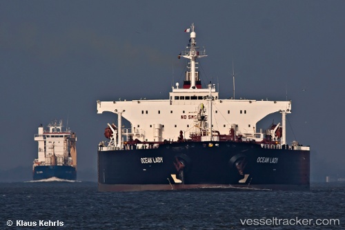
 LUKA
LUKA
Current Status
Where is the vessel?
LUKA is currently in Near Offshore Fujairah, based on AIS data received about 485d ago.
Latest AIS update:
Current position: 25.39267° N, 56.59523° E (Near Offshore Fujairah)
Average speed (last 7 days): Loading…
Average speed (last 30 days): Loading…
Vessel profile: LUKA is a Crude Oil Tanker with dimensions 239m x 44m.
This page combines live AIS, route history, probable destination signals, nearby traffic, and port activity for practical vessel monitoring.
The current position of vessel LUKA is 25.39267 lat / 56.59523 lng. Updated: 2024-12-20 14:18:27 UTCNearest reference points:
- Near Offshore Fujairah
- Near KHORFAKKAN
- Near Fujairah
Currently sailing under the flag of Comoros ![]()
LUKA built in 2002 year
Deadweight:
105579 tDetails:
Live Vessel LUKA Analytics (details, animations, etc.)
Recent AIS points (UTC):
2024-12-20 14:18:27 UTC · 25.39267, 56.59523 · SOG 0.1 kn · COG 27°