 vesseltracker.com
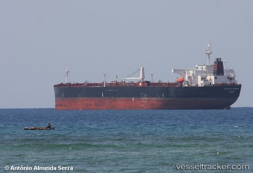
 AGNI
AGNI
Current Status
Where is the vessel?
AGNI is currently in Near Tehran, based on AIS data received about 50d ago.
Latest AIS update:
Current position: 35.70065° N, 51.33858° E (Near Tehran)
Average speed (last 7 days): Loading…
Average speed (last 30 days): Loading…
Vessel profile: AGNI is a Crude Oil Tanker with dimensions 42m x 239m.
This page combines live AIS, route history, probable destination signals, nearby traffic, and port activity for practical vessel monitoring.
The current position of vessel AGNI is 35.70065 lat / 51.33858 lng. Updated: 2026-02-17 22:54:41 UTCNearest reference points:
- 50 nm W of Freidoon Kenar
- Near Neka
- Near Bandar Amirabad
Currently sailing under the flag of Comoros ![]()
AGNI built in 2007 year
Deadweight:
105641 tDetails:
Live Vessel AGNI Analytics (details, animations, etc.)
Recent AIS points (UTC):
2026-02-17 22:54:41 UTC · 35.70065, 51.33858 · SOG 39.1 kn · COG 246°