 vesseltracker.com
 KITAKAZE
Current Status
Where is the vessel?
KITAKAZE is currently in 87 nm NE of Jingjiang, based on AIS data received about 2h ago.
Latest AIS update:
Current position: 32.09123° N, 123.61869° E (87 nm NE of Jingjiang)
Average speed (last 7 days): Loading…
Average speed (last 30 days): Loading…
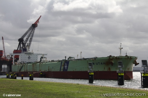
Vessel profile: KITAKAZE is a Crude Oil Tanker with dimensions 58m x 332m.
This page combines live AIS, route history, probable destination signals, nearby traffic, and port activity for practical vessel monitoring.
The current position of vessel KITAKAZE is 32.09123 lat / 123.61869 lng. Updated: 2026-04-19 19:23:19 UTCNearest reference points:
- 70 nm NE of Jingjiang
- 77 nm NE of Jingjiang
- 117 nm NE of Jingjiang
Currently sailing under the flag of Djibouti ![]()
KITAKAZE built in 2001 year
Deadweight:
299498 tDetails:
Live Vessel KITAKAZE Analytics (details, animations, etc.)
Recent AIS points (UTC):
2026-04-19 16:09:49 UTC · 32.09307, 123.61288 · SOG 0.1 kn · COG -1°2026-04-19 17:53:07 UTC · 32.09338, 123.61583 · SOG 0.4 kn · COG 184°
2026-04-19 19:08:18 UTC · 32.09157, 123.61852 · SOG 0 kn · COG -1°
2026-04-19 19:23:19 UTC · 32.09123, 123.61869 · SOG 0.3 kn · COG -1°