 vesseltracker.com
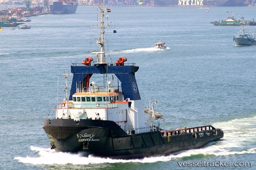
 Baraka 1
Current Status
Where is the vessel?
Baraka 1 is currently in Near ISMAILIA, based on AIS data received about 1h ago.
Latest AIS update:
Current position: 30.58588° N, 32.27332° E (Near ISMAILIA)
Average speed (last 7 days): Loading…
Average speed (last 30 days): Loading…
Vessel profile: Baraka 1 is a Tug with dimensions 69m x 16m.
This page combines live AIS, route history, probable destination signals, nearby traffic, and port activity for practical vessel monitoring.
The current position of vessel Baraka 1 is 30.58588 lat / 32.27332 lng. Updated: 2026-04-09 09:52:22 UTCNearest reference points:
- Near SUEZ CANAL
- Near Port Said East
- Near As Suways (Suez)
Currently sailing under the flag of Egypt ![]()
Baraka 1 built in 1993 year
Deadweight:
2320 tDetails:
Live Vessel Baraka 1 Analytics (details, animations, etc.)
Recent AIS points (UTC):
2026-04-09 04:12:21 UTC · 30.58607, 32.27323 · SOG 0 kn · COG 341°2026-04-09 06:06:30 UTC · 30.58590, 32.27332 · SOG 0.1 kn · COG 341°
2026-04-09 08:06:24 UTC · 30.58593, 32.27337 · SOG 0.1 kn · COG 341°
2026-04-09 09:52:22 UTC · 30.58588, 32.27332 · SOG 0.1 kn · COG 341°