 vesseltracker.com
 VIEIRA
Current Status
Where is the vessel?
VIEIRA is currently in 33 nm NE of Longyan Pt, based on AIS data received about 236d ago.
Latest AIS update:
Current position: 37.69810° N, 123.25156° E (33 nm NE of Longyan Pt)
Average speed (last 7 days): Loading…
Average speed (last 30 days): Loading…
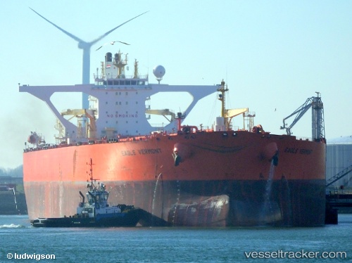
Vessel profile: VIEIRA is a Crude Oil Tanker with dimensions 60m x 333m.
This page combines live AIS, route history, probable destination signals, nearby traffic, and port activity for practical vessel monitoring.
The current position of vessel VIEIRA is 37.69810 lat / 123.25156 lng. Updated: 2025-08-04 07:50:25 UTCNearest reference points:
- 28 nm NE of Longyan Pt
- 39 nm NE of Longyan Pt
- 21 nm E of Longyan Pt
Currently sailing under the flag of Gabon ![]()
VIEIRA built in 2002 year
Deadweight:
306999 tDetails:
Live Vessel VIEIRA Analytics (details, animations, etc.)
Recent AIS points (UTC):
2025-08-04 07:50:25 UTC · 37.69810, 123.25156 · SOG 11 kn · COG 108°