 vesseltracker.com
 RIMAR
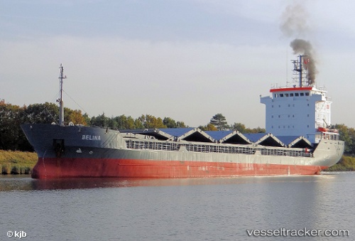
RIMAR
Current Status
Where is the vessel?
RIMAR is currently in Near IGOUMENITSA, based on AIS data received about 1h ago.
Latest AIS update:
Current position: 39.46805° N, 20.21569° E (Near IGOUMENITSA)
Average speed (last 7 days): Loading…
Average speed (last 30 days): Loading…
Vessel profile: RIMAR is a General Cargo with dimensions m x m.
This page combines live AIS, route history, probable destination signals, nearby traffic, and port activity for practical vessel monitoring.
The current position of vessel RIMAR is 39.46805 lat / 20.21569 lng. Updated: 2026-04-16 22:20:03 UTCNearest reference points:
- Near Lefkímmi
- Near Paxi
- Near Corfu
Currently sailing under the flag of Guinea ![]()
Details:
Live Vessel RIMAR Analytics (details, animations, etc.)
Recent AIS points (UTC):
2026-04-16 13:41:12 UTC · 38.78722, 20.28633 · SOG 6.5 kn · COG 6°2026-04-16 15:25:32 UTC · 38.97598, 20.31747 · SOG 6.6 kn · COG 8°
2026-04-16 19:51:41 UTC · 39.44478, 20.17252 · SOG 6.9 kn · COG 6°
2026-04-16 22:20:03 UTC · 39.46805, 20.21569 · SOG 0.1 kn · COG 115°