 vesseltracker.com
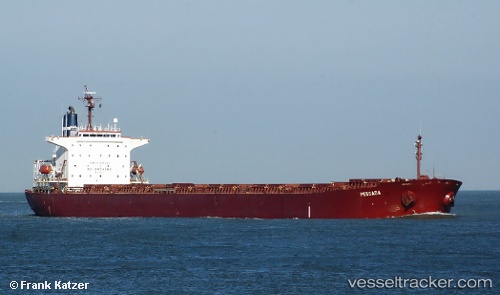
 PROTEUS M
Current Status
Where is the vessel?
PROTEUS M is currently in 64 nm E of Nangang, based on AIS data received about 1h ago.
Latest AIS update:
Current position: 25.38443° N, 123.13682° E (64 nm E of Nangang)
Average speed (last 7 days): Loading…
Average speed (last 30 days): Loading…
Vessel profile: PROTEUS M is a Bulk Carrier with dimensions m x m.
This page combines live AIS, route history, probable destination signals, nearby traffic, and port activity for practical vessel monitoring.
The current position of vessel PROTEUS M is 25.38443 lat / 123.13682 lng. Updated: 2026-04-17 18:04:36 UTCNearest reference points:
- 55 nm E of Nangang
- 76 nm NE of Nangang
- 14 nm NE of Nangang
Currently sailing under the flag of Guinea ![]()
Details:
Live Vessel PROTEUS M Analytics (details, animations, etc.)
Recent AIS points (UTC):
2026-04-17 11:57:35 UTC · 24.26733, 122.51879 · SOG 11.5 kn · COG 23°2026-04-17 13:21:55 UTC · 24.52048, 122.65225 · SOG 12 kn · COG 25°
2026-04-17 15:34:55 UTC · 24.92001, 122.87430 · SOG 11.9 kn · COG 26°
2026-04-17 18:04:36 UTC · 25.38443, 123.13682 · SOG 13.2 kn · COG 17°