 vesseltracker.com
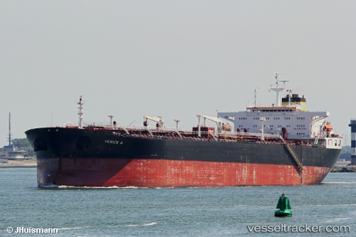
 FINA A
Current Status
Where is the vessel?
FINA A is currently in 14 nm N of VISTINO, based on AIS data received about 3h ago.
Latest AIS update:
Current position: 60.02371° N, 28.46261° E (14 nm N of VISTINO)
Average speed (last 7 days): Loading…
Average speed (last 30 days): Loading…
Vessel profile: FINA A is a Crude Oil Tanker with dimensions m x m.
This page combines live AIS, route history, probable destination signals, nearby traffic, and port activity for practical vessel monitoring.
The current position of vessel FINA A is 60.02371 lat / 28.46261 lng. Updated: 2026-04-10 07:27:20 UTCNearest reference points:
- Near VISTINO
- 11 nm NE of VISTINO
- 10 nm NE of VISTINO
Currently sailing under the flag of Equatorial Guinea ![]()
Details:
Live Vessel FINA A Analytics (details, animations, etc.)
Recent AIS points (UTC):
2026-04-09 17:05:56 UTC · 60.02691, 28.46375 · SOG 1.2 kn · COG 143°2026-04-10 03:56:59 UTC · 60.02396, 28.46192 · SOG 0.9 kn · COG 51°
2026-04-10 05:29:59 UTC · 60.02409, 28.46207 · SOG 0.8 kn · COG 53°
2026-04-10 07:27:20 UTC · 60.02371, 28.46261 · SOG 0 kn · COG 48°