 vesseltracker.com
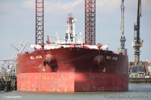
 MITZEL
Current Status
Where is the vessel?
MITZEL is currently in 48 nm N of Gjesvær, based on AIS data received about 2h ago.
Latest AIS update:
Current position: 71.89313° N, 25.02403° E (48 nm N of Gjesvær)
Average speed (last 7 days): Loading…
Average speed (last 30 days): Loading…
Vessel profile: MITZEL is a Crude Oil Tanker with dimensions m x m.
This page combines live AIS, route history, probable destination signals, nearby traffic, and port activity for practical vessel monitoring.
The current position of vessel MITZEL is 71.89313 lat / 25.02403 lng. Updated: 2026-04-09 23:46:17 UTCNearest reference points:
- Near SKARSVAG
- Near HONNINGSVAAG
- Near Repparfjord
Currently sailing under the flag of Equatorial Guinea ![]()
Details:
Live Vessel MITZEL Analytics (details, animations, etc.)
Recent AIS points (UTC):
2026-04-09 17:29:21 UTC · 71.30656, 21.22717 · SOG 13.7 kn · COG 65°2026-04-09 19:46:42 UTC · 71.57660, 22.52294 · SOG 12.9 kn · COG 26°
2026-04-09 22:04:23 UTC · 71.84104, 23.82210 · SOG 13.8 kn · COG 72°
2026-04-09 23:46:17 UTC · 71.89313, 25.02403 · SOG 13.6 kn · COG 92°