 vesseltracker.com
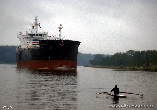
 KAROL
KAROL
Current Status
Where is the vessel?
KAROL is currently in 49 nm E of Vardo, based on AIS data received about 87d ago.
Latest AIS update:
Current position: 70.45741° N, 33.52868° E (49 nm E of Vardo)
Average speed (last 7 days): Loading…
Average speed (last 30 days): Loading…
Vessel profile: KAROL is a Oil/Chemical Tanker with dimensions m x m.
This page combines live AIS, route history, probable destination signals, nearby traffic, and port activity for practical vessel monitoring.
The current position of vessel KAROL is 70.45741 lat / 33.52868 lng. Updated: 2026-01-21 13:44:57 UTCNearest reference points:
- 23 nm N of Polyarnyy
- 12 nm N of Polyarnyy
- 12 nm NE of Ura-Guba
Currently sailing under the flag of Guinea-Bissau ![]()
Details:
Live Vessel KAROL Analytics (details, animations, etc.)
Recent AIS points (UTC):
2026-01-21 13:44:57 UTC · 70.45741, 33.52868 · SOG 0.8 kn · COG 240°