 vesseltracker.com
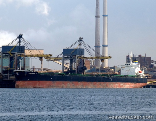
Manousos P
Current StatusWhere is the vessel?
Manousos P is currently in 154 nm SE of West Ocean City, based on AIS data received about 5h ago.
Latest AIS update:
Current position: 37.24833° N, 72.15500° W (154 nm SE of West Ocean City)
Average speed (last 7 days): Loading…
Average speed (last 30 days): Loading…
Vessel profile: Manousos P is a Bulk Carrier with dimensions 32m x 229m.
This page combines live AIS, route history, probable destination signals, nearby traffic, and port activity for practical vessel monitoring.
The current position of vessel Manousos P is 37.24833 lat / -72.15500 lng. Updated: 2026-04-05 06:20:35 UTCNearest reference points:
- 57 nm E of Fenwick Island
- 187 nm SE of Offshore Ambrose
- 114 nm SE of Offshore Ambrose
Details:
Live Vessel Manousos P Analytics (details, animations, etc.)
Recent AIS points (UTC):
2026-04-05 00:32:35 UTC · 37.31167, -71.19167 · SOG 7 kn · COG -1°2026-04-05 03:08:35 UTC · 37.28667, -71.56500 · SOG 6 kn · COG -1°
2026-04-05 04:17:36 UTC · 37.27500, -71.73667 · SOG 9 kn · COG -1°
2026-04-05 06:20:35 UTC · 37.24833, -72.15500 · SOG 10 kn · COG -1°