 vesseltracker.com
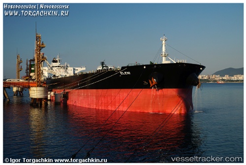
 ELENI
ELENI
Current Status
Where is the vessel?
ELENI is currently in 140 nm SW of Keti Bandar, based on AIS data received about 2h ago.
Latest AIS update:
Current position: 21.99559° N, 66.42736° E (140 nm SW of Keti Bandar)
Average speed (last 7 days): Loading…
Average speed (last 30 days): Loading…
Vessel profile: ELENI is a Crude Oil Tanker with dimensions 274m x 50m.
This page combines live AIS, route history, probable destination signals, nearby traffic, and port activity for practical vessel monitoring.
The current position of vessel ELENI is 21.99559 lat / 66.42736 lng. Updated: 2026-03-31 01:18:20 UTCNearest reference points:
- 84 nm SW of Keti Bandar
- 231 nm SW of Keti Bandar
- 147 nm SW of Kiamari
Currently sailing under the flag of Liberia ![]()
ELENI built in 2011 year
Deadweight:
149999 tDetails:
Live Vessel ELENI Analytics (details, animations, etc.)
Recent AIS points (UTC):
2026-03-30 15:37:28 UTC · 22.05873, 66.24932 · SOG 1.2 kn · COG 195°2026-03-30 15:37:28 UTC · 22.05873, 66.24932 · SOG 1.2 kn · COG 195°
2026-03-30 21:34:12 UTC · 22.00956, 66.35837 · SOG 1.1 kn · COG -1°
2026-03-31 01:18:20 UTC · 21.99559, 66.42736 · SOG 1.3 kn · COG 151°