 vesseltracker.com
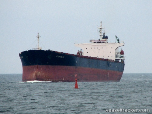
 Pantelis
Current Status
Where is the vessel?
Pantelis is currently in 19 nm E of The Pearl-Qatar, based on AIS data received about 58d ago.
Latest AIS update:
Current position: 25.43502° N, 51.88994° E (19 nm E of The Pearl-Qatar)
Average speed (last 7 days): Loading…
Average speed (last 30 days): Loading…
Vessel profile: Pantelis is a Bulk Carrier with dimensions 225m x 225m.
This page combines live AIS, route history, probable destination signals, nearby traffic, and port activity for practical vessel monitoring.
The current position of vessel Pantelis is 25.43502 lat / 51.88994 lng. Updated: 2026-02-13 21:33:56 UTCNearest reference points:
- Near RAS LAFFAN
- 21 nm NE of Halul Island
- Near Das Island
Currently sailing under the flag of Liberia ![]()
Pantelis built in 2000 year
Deadweight:
74020 tDetails:
Live Vessel Pantelis Analytics (details, animations, etc.)
Recent AIS points (UTC):
2026-02-13 21:33:56 UTC · 25.43502, 51.88994 · SOG 14.9 kn · COG 273°