 vesseltracker.com
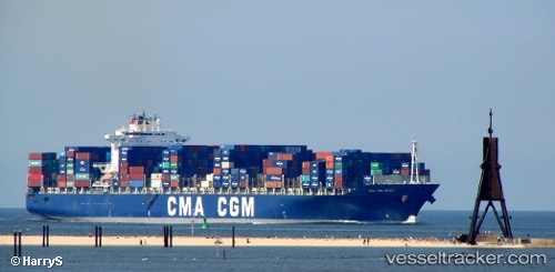
Diaporos
Current StatusWhere is the vessel?
Diaporos is currently in Open sea (no nearby ports in database), based on AIS data received about 1h ago.
Latest AIS update:
Current position: 23.33866° S, 6.74301° E (Open sea (no nearby ports in database))
Average speed (last 7 days): Loading…
Average speed (last 30 days): Loading…
Vessel profile: Diaporos is a Container Ship with dimensions 40m x 300m.
This page combines live AIS, route history, probable destination signals, nearby traffic, and port activity for practical vessel monitoring.
The current position of vessel Diaporos is -23.33866 lat / 6.74301 lng. Updated: 2026-04-13 01:28:26 UTCNearest reference points:
- Open sea (no nearby ports in database)
- Open sea, approx. 483 nm off the nearest listed port
- Open sea, approx. 478 nm off the nearest listed port
Details:
Live Vessel Diaporos Analytics (details, animations, etc.)
Recent AIS points (UTC):
2026-04-12 19:49:46 UTC · -23.43093, 5.25614 · SOG 14.5 kn · COG 88°2026-04-12 21:29:34 UTC · -23.40566, 5.69428 · SOG 14.6 kn · COG 88°
2026-04-12 23:32:58 UTC · -23.37487, 6.23904 · SOG 14.6 kn · COG 87°
2026-04-13 01:28:26 UTC · -23.33866, 6.74301 · SOG 14.3 kn · COG 86°