 vesseltracker.com
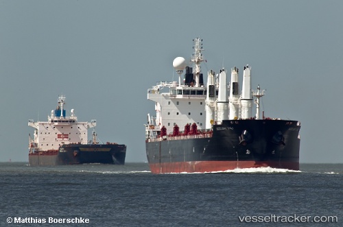
Vessel Mv Arrilah I IMO: 9522934, MMSI: 636014927 Bulk Carrier
UTC, -8.50368, 151.44049, course: 174, speed: 11.6
UTC, -8.69287, 151.47478, course: 174, speed: 11.3
2026-01-19 13:33:36 UTC, -8.79564, 151.49448, course: 174, speed: 11.1
Live AIS position:
UTC. 31 nm W of Gawa Island),
updated 2026-01-19 13:33:36 UTC.
Find the position of the vessel Mv Arrilah I on the map. The latter are known coordinates and path.
marine traffic ship tracker show on live map
The current position of vessel Mv Arrilah I is -8.79564 lat / 151.49448 lng. Updated: 2026-01-19 13:33:36 UTCDetails:
Last coordinates of the vessel:
UTC, -8.25846, 151.16763, course: 130, speed: 13.4UTC, -8.50368, 151.44049, course: 174, speed: 11.6
UTC, -8.69287, 151.47478, course: 174, speed: 11.3
2026-01-19 13:33:36 UTC, -8.79564, 151.49448, course: 174, speed: 11.1