 vesseltracker.com
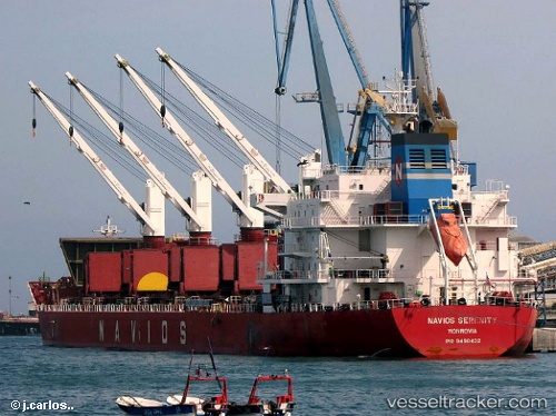
 TINA S
Current Status
Where is the vessel?
TINA S is currently in 18 nm SE of Ronehamn, based on AIS data received about 10h ago.
Latest AIS update:
Current position: 56.92072° N, 18.79139° E (18 nm SE of Ronehamn)
Average speed (last 7 days): Loading…
Average speed (last 30 days): Loading…
Vessel profile: TINA S is a Bulk Carrier with dimensions 180m x 30m.
This page combines live AIS, route history, probable destination signals, nearby traffic, and port activity for practical vessel monitoring.
The current position of vessel TINA S is 56.92072 lat / 18.79139 lng. Updated: 2026-04-10 07:27:36 UTCNearest reference points:
- 39 nm W of Pilies juru uosto PVP/Klaipeda
- 17 nm W of Gusevka
- Near WLADYSLAWOWO
Currently sailing under the flag of Liberia ![]()
TINA S built in 2011 year
Deadweight:
34690 tDetails:
Live Vessel TINA S Analytics (details, animations, etc.)
Recent AIS points (UTC):
2026-04-10 02:24:09 UTC · 56.28422, 17.29745 · SOG 12.3 kn · COG 53°2026-04-10 03:49:34 UTC · 56.46447, 17.71628 · SOG 12.4 kn · COG 52°
2026-04-10 05:58:06 UTC · 56.73527, 18.34520 · SOG 12.3 kn · COG 52°
2026-04-10 07:27:36 UTC · 56.92072, 18.79139 · SOG 12.3 kn · COG 52°