 vesseltracker.com
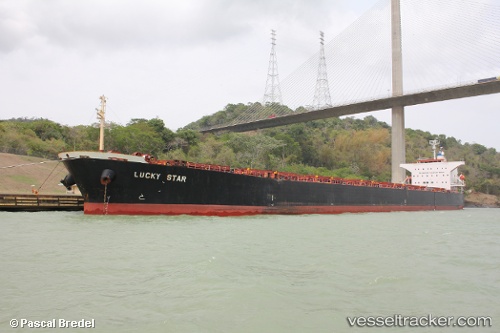
Lucky Star
Current StatusWhere is the vessel?
Lucky Star is currently in 20 nm E of Zhuangyuanao, based on AIS data received less than 1h ago.
Latest AIS update:
Current position: 27.82379° N, 121.48172° E (20 nm E of Zhuangyuanao)
Average speed (last 7 days): Loading…
Average speed (last 30 days): Loading…
Vessel profile: Lucky Star is a Bulk Carrier with dimensions 32m x 225m.
This page combines live AIS, route history, probable destination signals, nearby traffic, and port activity for practical vessel monitoring.
The current position of vessel Lucky Star is 27.82379 lat / 121.48172 lng. Updated: 2026-04-22 07:41:27 UTCNearest reference points:
- 27 nm SE of Zhuangyuanao
- 27 nm E of Shanwai
- Near Shanwai
Details:
Live Vessel Lucky Star Analytics (details, animations, etc.)
Recent AIS points (UTC):
2026-04-22 04:44:24 UTC · 27.82620, 121.47856 · SOG 0 kn · COG 150°2026-04-22 06:17:25 UTC · 27.82394, 121.48162 · SOG 0.1 kn · COG 258°
2026-04-22 07:41:27 UTC · 27.82379, 121.48172 · SOG 0.2 kn · COG 263°
2026-04-22 07:41:27 UTC · 27.82379, 121.48172 · SOG 0.2 kn · COG 263°