 vesseltracker.com
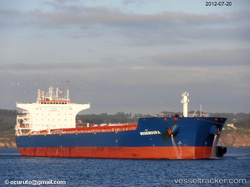
Flag Hope
Current StatusWhere is the vessel?
Flag Hope is currently in 22 nm NE of DALRYMPLE, based on AIS data received about 1h ago.
Latest AIS update:
Current position: 21.08167° S, 149.63167° E (22 nm NE of DALRYMPLE)
Average speed (last 7 days): Loading…
Average speed (last 30 days): Loading…
Vessel profile: Flag Hope is a Bulk Carrier with dimensions 38m x 229m.
This page combines live AIS, route history, probable destination signals, nearby traffic, and port activity for practical vessel monitoring.
The current position of vessel Flag Hope is -21.08167 lat / 149.63167 lng. Updated: 2026-04-22 20:18:50 UTCNearest reference points:
- Near Mackay
- Near Whitsunday Island
- Near AIRLIE
Details:
Live Vessel Flag Hope Analytics (details, animations, etc.)
Recent AIS points (UTC):
2026-04-22 16:12:42 UTC · -21.08167, 149.63167 · SOG 0 kn · COG -1°2026-04-22 17:27:34 UTC · -21.08347, 149.63229 · SOG 0.3 kn · COG 102°
2026-04-22 19:54:47 UTC · -21.08167, 149.63167 · SOG 0 kn · COG -1°
2026-04-22 20:18:50 UTC · -21.08167, 149.63167 · SOG 0 kn · COG -1°