 vesseltracker.com
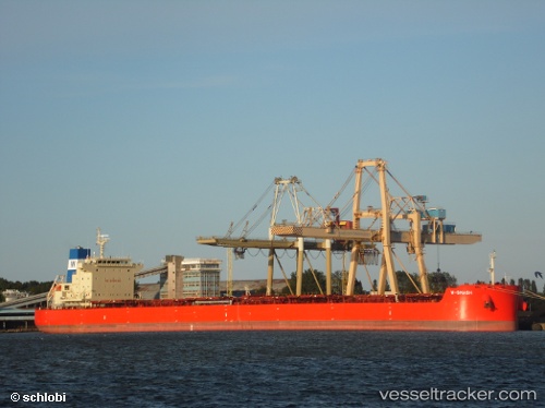
W Smash
Current StatusWhere is the vessel?
W Smash is currently in 142 nm NE of Dolni Kounice, based on AIS data received less than 1h ago.
Latest AIS update:
Current position: 50.99333° N, 166.41167° E (142 nm NE of Dolni Kounice)
Average speed (last 7 days): Loading…
Average speed (last 30 days): Loading…
Vessel profile: W Smash is a Bulk Carrier with dimensions 32m x 229m.
This page combines live AIS, route history, probable destination signals, nearby traffic, and port activity for practical vessel monitoring.
The current position of vessel W Smash is 50.99333 lat / 166.41167 lng. Updated: 2026-03-29 06:07:09 UTCDetails:
Live Vessel W Smash Analytics (details, animations, etc.)
Recent AIS points (UTC):
2026-03-28 23:28:14 UTC · 50.33167, 165.15668 · SOG 11 kn · COG -1°2026-03-29 01:16:08 UTC · 50.53833, 165.55833 · SOG 10 kn · COG -1°
2026-03-29 04:16:09 UTC · 50.77500, 165.99500 · SOG 10 kn · COG -1°
2026-03-29 06:07:09 UTC · 50.99333, 166.41167 · SOG 11 kn · COG -1°