 vesseltracker.com
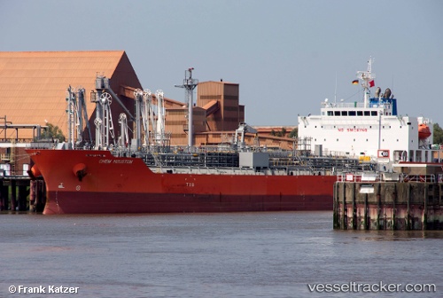
 Chem Houston
Current Status
Where is the vessel?
Chem Houston is currently in 296 nm S of Luque, based on AIS data received less than 1h ago.
Latest AIS update:
Current position: 20.69592° N, 55.57753° W (296 nm S of Luque)
Average speed (last 7 days): Loading…
Average speed (last 30 days): Loading…
Vessel profile: Chem Houston is a Chemical Oil Products Tanker with dimensions 145m x 24m.
This page combines live AIS, route history, probable destination signals, nearby traffic, and port activity for practical vessel monitoring.
The current position of vessel Chem Houston is 20.69592 lat / -55.57753 lng. Updated: 2026-04-06 14:02:36 UTCNearest reference points:
- 344 nm S of Luque
- Open sea, approx. 404 nm off the nearest listed port
- Open sea, approx. 400 nm off the nearest listed port
Currently sailing under the flag of Liberia ![]()
Details:
Live Vessel Chem Houston Analytics (details, animations, etc.)
Recent AIS points (UTC):
2026-04-06 08:24:42 UTC · 21.45013, -54.42064 · SOG 13.7 kn · COG 235°2026-04-06 09:23:23 UTC · 21.32500, -54.62167 · SOG 13 kn · COG -1°
2026-04-06 11:47:47 UTC · 21.01387, -55.13092 · SOG 14.3 kn · COG 235°
2026-04-06 14:02:36 UTC · 20.69592, -55.57753 · SOG 14 kn · COG 232°