 vesseltracker.com
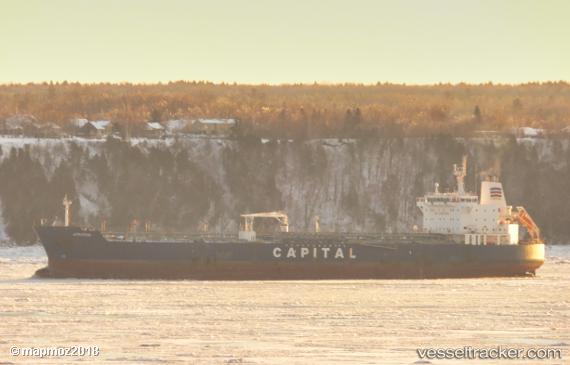
 Atrotos
Current Status
Where is the vessel?
Atrotos is currently in Near Ciudad Madero, based on AIS data received about 1h ago.
Latest AIS update:
Current position: 22.25500° N, 97.80500° W (Near Ciudad Madero)
Average speed (last 7 days): Loading…
Average speed (last 30 days): Loading…
Vessel profile: Atrotos is a Chemical Oil Products Tanker with dimensions 184m x 32m.
This page combines live AIS, route history, probable destination signals, nearby traffic, and port activity for practical vessel monitoring.
The current position of vessel Atrotos is 22.25500 lat / -97.80500 lng. Updated: 2026-03-26 15:56:20 UTCNearest reference points:
- 25 nm E of Tuxpan
Currently sailing under the flag of Liberia ![]()
Atrotos built in 2007 year
Deadweight:
47787 tDetails:
Live Vessel Atrotos Analytics (details, animations, etc.)
Recent AIS points (UTC):
2026-03-26 09:43:14 UTC · 22.25500, -97.80500 · SOG 0 kn · COG -1°2026-03-26 11:40:18 UTC · 22.25667, -97.80528 · SOG 0 kn · COG 242°
2026-03-26 13:46:21 UTC · 22.25669, -97.80528 · SOG 0 kn · COG 242°
2026-03-26 15:56:20 UTC · 22.25500, -97.80500 · SOG 0 kn · COG -1°