 vesseltracker.com
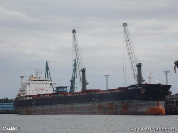
 New Explorer
Current Status
Where is the vessel?
New Explorer is currently in 113 nm SE of Yanam, based on AIS data received about 7h ago.
Latest AIS update:
Current position: 15.04288° N, 83.07633° E (113 nm SE of Yanam)
Average speed (last 7 days): Loading…
Average speed (last 30 days): Loading…
Vessel profile: New Explorer is a Bulk Carrier with dimensions 225m x 32m.
This page combines live AIS, route history, probable destination signals, nearby traffic, and port activity for practical vessel monitoring.
The current position of vessel New Explorer is 15.04288 lat / 83.07633 lng. Updated: 2026-04-03 19:37:06 UTCNearest reference points:
- 80 nm E of Nandiambakkam
- 17 nm NE of Nandiambakkam
Currently sailing under the flag of Liberia ![]()
Details:
Live Vessel New Explorer Analytics (details, animations, etc.)
Recent AIS points (UTC):
2026-04-03 17:32:17 UTC · 15.41890, 83.11692 · SOG 10.6 kn · COG 191°2026-04-03 19:37:06 UTC · 15.04288, 83.07633 · SOG 11.1 kn · COG 189°
2026-04-03 19:37:06 UTC · 15.04288, 83.07633 · SOG 11.1 kn · COG 189°
2026-04-03 19:37:06 UTC · 15.04288, 83.07633 · SOG 11.1 kn · COG 189°