 vesseltracker.com
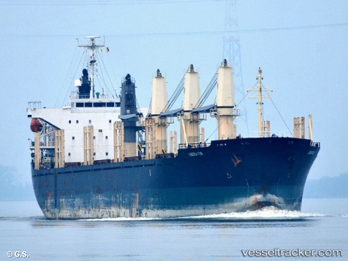
Liberator
Current StatusWhere is the vessel?
Liberator is currently in 13 nm SE of Offshore Fujairah, based on AIS data received less than 1h ago.
Latest AIS update:
Current position: 25.14620° N, 56.87020° E (13 nm SE of Offshore Fujairah)
Average speed (last 7 days): Loading…
Average speed (last 30 days): Loading…
Vessel profile: Liberator is a Bulk Carrier with dimensions 27m x 169m.
This page combines live AIS, route history, probable destination signals, nearby traffic, and port activity for practical vessel monitoring.
The current position of vessel Liberator is 25.14620 lat / 56.87020 lng. Updated: 2026-04-16 21:22:23 UTCNearest reference points:
- Near Offshore Fujairah
- Near Fujairah
- Near KHORFAKKAN
Details:
Live Vessel Liberator Analytics (details, animations, etc.)
Recent AIS points (UTC):
2026-04-16 13:55:43 UTC · 25.17310, 56.87315 · SOG 1.6 kn · COG 263°2026-04-16 15:46:19 UTC · 25.14667, 56.82833 · SOG 1 kn · COG -1°
2026-04-16 20:22:16 UTC · 25.14500, 56.85333 · SOG 1 kn · COG -1°
2026-04-16 21:22:23 UTC · 25.14620, 56.87020 · SOG 0.9 kn · COG 25°