 vesseltracker.com
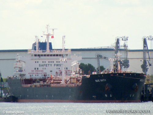
 Blue Sky I
Current Status
Where is the vessel?
Blue Sky I is currently in Near Colombo, based on AIS data received about 1h ago.
Latest AIS update:
Current position: 6.95902° N, 79.85364° E (Near Colombo)
Average speed (last 7 days): Loading…
Average speed (last 30 days): Loading…
Vessel profile: Blue Sky I is a Chemical Oil Products Tanker with dimensions m x m.
This page combines live AIS, route history, probable destination signals, nearby traffic, and port activity for practical vessel monitoring.
The current position of vessel Blue Sky I is 6.95902 lat / 79.85364 lng. Updated: 2026-04-14 21:19:47 UTCNearest reference points:
- 19 nm SW of Bataduwa
- 67 nm SW of Moratuwa
- 38 nm SW of Galle
Currently sailing under the flag of Liberia ![]()
Blue Sky I built in 2006 year
Deadweight:
38402 tDetails:
Live Vessel Blue Sky I Analytics (details, animations, etc.)
Recent AIS points (UTC):
2026-04-14 16:10:48 UTC · 6.95902, 79.85365 · SOG 0 kn · COG 79°2026-04-14 17:46:47 UTC · 6.95902, 79.85365 · SOG 0 kn · COG 79°
2026-04-14 20:07:47 UTC · 6.95902, 79.85366 · SOG 0 kn · COG 78°
2026-04-14 21:19:47 UTC · 6.95902, 79.85364 · SOG 0 kn · COG 79°