 vesseltracker.com
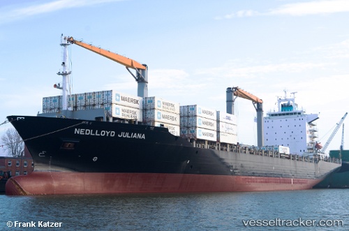
Vessel Bomar Juliana IMO: 9275036, MMSI: 636016851 Container Ship
UTC, 17.28379, -75.51369, course: 31, speed: 17
UTC, 17.62596, -75.31716, course: 29, speed: 17.7
2026-03-25 00:21:48 UTC, 18.38808, -74.88926, course: 26, speed: 16.1
Live Vessel Bomar Juliana Analytics (details, animations, etc.)
Live AIS position: UTC. 46 nm W of Poty), updated 2026-03-25 00:21:48 UTC.Find the position of the vessel Bomar Juliana on the map. The latter are known coordinates and path.
marine traffic ship tracker show on live map
The current position of vessel Bomar Juliana is 18.38808 lat / -74.88926 lng. Updated: 2026-03-25 00:21:48 UTCCurrently sailing under the flag of Liberia
Bomar Juliana built in 2003 year
Deadweight:
34273 tDetails:
Last coordinates of the vessel:
UTC, 16.71073, -75.82787, course: 24, speed: 18UTC, 17.28379, -75.51369, course: 31, speed: 17
UTC, 17.62596, -75.31716, course: 29, speed: 17.7
2026-03-25 00:21:48 UTC, 18.38808, -74.88926, course: 26, speed: 16.1