 vesseltracker.com
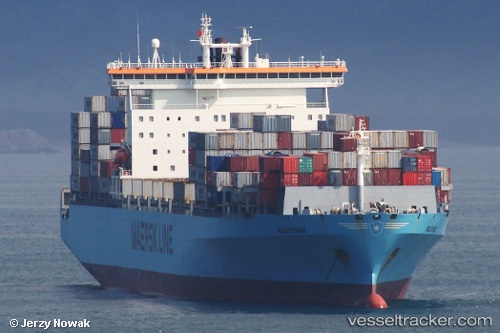
Ian H
Current StatusWhere is the vessel?
Ian H is currently in 48 nm W of Gageohyangri, based on AIS data received about 2h ago.
Latest AIS update:
Current position: 34.30147° N, 124.14968° E (48 nm W of Gageohyangri)
Average speed (last 7 days): Loading…
Average speed (last 30 days): Loading…
Vessel profile: Ian H is a Container Ship with dimensions 43m x 278m.
This page combines live AIS, route history, probable destination signals, nearby traffic, and port activity for practical vessel monitoring.
The current position of vessel Ian H is 34.30147 lat / 124.14968 lng. Updated: 2026-04-09 23:06:06 UTCNearest reference points:
- 77 nm W of Hongdo
- 82 nm W of Gageohyangri
- 91 nm W of Gageohyangri
Details:
Live Vessel Ian H Analytics (details, animations, etc.)
Recent AIS points (UTC):
2026-04-09 18:02:44 UTC · 34.80346, 122.54415 · SOG 16.9 kn · COG -1°2026-04-09 18:32:49 UTC · 34.73578, 122.69524 · SOG 16.9 kn · COG -1°
2026-04-09 22:15:01 UTC · 34.39805, 123.88133 · SOG 17.1 kn · COG -1°
2026-04-09 23:06:06 UTC · 34.30147, 124.14968 · SOG 17 kn · COG -1°